Lough Ouler - Tonelagee Mountain (817m)
Lough Ouler - Tonelagee Mountain (817m)
Tonelagee (gaelic Toin le Gaoith meaning 'Back-side to the Wind') is Wicklow's third highest mountain at 817m.
From the car park at the top of
Glemacnas Waterfall at the Glendasan River (Sally Gap side). This is a
beautiful hike up to and around the heart-shaped lake of Lough Ouler.
 |
| Glemacnas Waterfall at the Glendasan River |
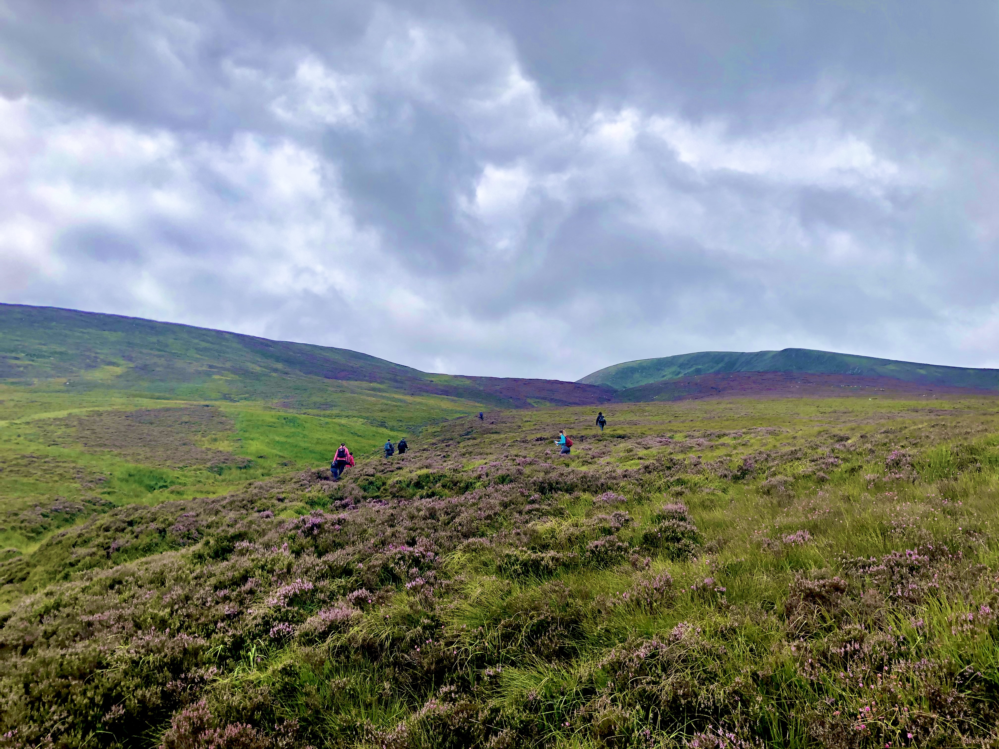
There are many wet flushes on the hillside below the lake with mosses, Bog Cottons and Soft Rush.

 |
| Lough Ouler |
 |
| Turlough Hill and Lough Nahanagan from Tonelagee (817m) |
Pass the heart shaped Lough Ouler from he top of Tonelagee (817m) looking at the hydro-electric station of Turlough Hill and Lough Nahanagan, the lower reservoir for the power station. From the back to reach Glendalough's Valley!!

 |
| Boggy land, lots of cuttings in a peat bog |

